Velocimetry in River Studies: A Practical Guide for IB Geography Students
Understanding river velocity is a useful component of an IB river studies field trip. At Zen Quest Adventures, we regularly guide students through the practical aspects of measuring stream velocity, and we'd like to share our ideas on allowing students to use velocimetry instead of floats or flow meters for this task.
Why Measure Velocity?
River velocity directly influences channel characteristics, sediment transport, and erosional processes. By measuring velocity at different points along a river's course, you can:
- Calculate discharge
- Understand channel efficiency
- Analyse flow patterns
- Study the relationship between velocity and gradient.
Research
Since 2019 we have followed the progress of the pyOpenRiverCam an open source project, and considered implementing it in our fieldwork program. However it's complexity to setup and it requirement for very precise ground control points, using for example RTK GPS devices, this combination always put us off.
We have also researched using TRiVIA but as its meant mostly for drone use and we did not think its suitable for all our locations and client groups.
Integrating Technology for IB, IGCSE, and A-Level students
In order to give our students an extra competitive edge, we've recently been working to create a work flow which combines mobile phones and velocimetry to provide students with flow rate data. No coding, knowledge of algorithms, or complex interfaces to navigate, just a mobile phone, and a user-friendly program that can run on (almost) all computers and laptops.
Armed with an array of cameras (drone, android and apple phones, GoPro, and a mirrorless camera), we took to the field ourselves to see if this tech could work out in reality. We took videos from different angles before heading back to the computer for further analysis.
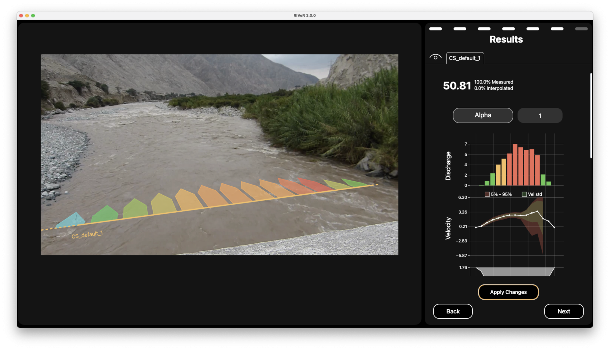
RIVeR
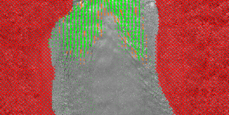
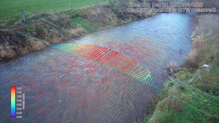
Firstly, we looked at using RIVeR, an open source software which aims to process large scale water surface characterization like velocity fields or individual trajectories of floating tracers. We ran this analysis several times with varying success, but due to the lack of surface tracers on the water, we found it to be too inaccurate for our purposes. However if the time was available to add tracers to the water, it would be a perfect tool for IB/IGCSE/A-level students to further their studies.
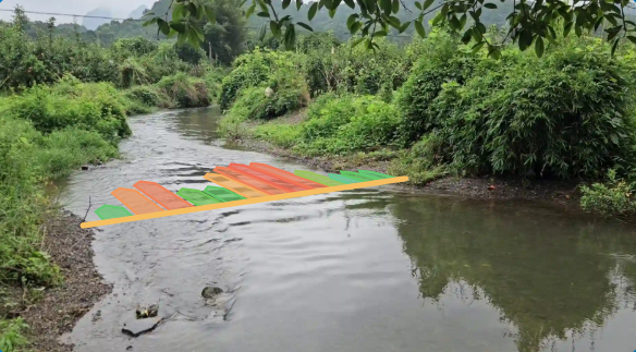
This is the site we used here in Yangshuo to get our footage for test analytics. We used a flow meter to test the speed of the water along the same line we picked in software. The green and orange bars 5 & 6 (from river left) had the highest flow according to our flow meter. The software can't see this because the water is clear and has a still surface. A human can see the downstream v pattern on the water which can be used to identify changes in water speed. Reading water is a skill you can learn white water kayaking or rafting. The centre of a downstream v has the fastest moving water on the river feature.
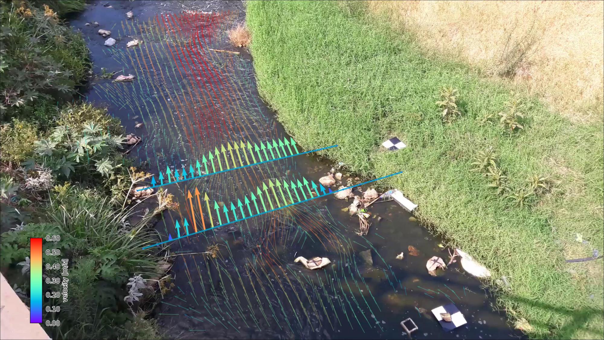
PIVLab
Next up was PIVlab, a free and open-source particle image velocimetry (PIV) software. The results seemed to be more promising in some areas, however the software was not so user-friendly, and it was still missing a lot of the strong flow due to a lack of visible tracers.
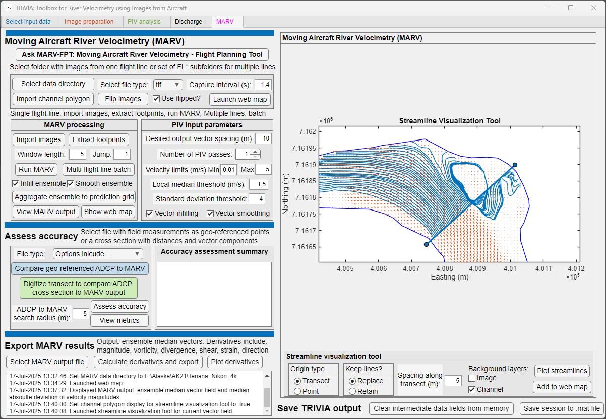
Pyopenrivercam
Lastly, we gave Pyopenrivercam a shot. Whilst this software would likely present more accurate results, it lacks any functional GUI (graphical user interface), and as such as a rather steep learning curve. It functions using python and is therefore tricky for students with little coding experience. It also requires extensive setup with control points, and is best suited for drone footage or fixed camera's (like CCTV) rather than phones.
Conclusion
Overall we conclude that integrating velocimetry software into our river studies programs is likely to be most useful to the following groups:
For IB/IGCSE/A-level students who use this software and data collection technique, it will take them an extra 15-30 minutes per site to get the data. Extra time will also be required to learn the software (we have a PPT for this) and to run the analytics for all their sites.
We can also tell the students about velocimetry, and they can reference this in their work as a tool to choose not to use. This gives them a slight edge in writing their coursework that will help them stand out.
Cutting Edge Geography Fieldwork
We believe that understanding river velocity is useful in geographical fieldwork and we want students that join our program to have the best possible outcomes in their course work and final grades. That's why we built our own open source flow meter in 2018, which has helped many students to get more and better data on the fieldwork trips. These measurements help develop essential scientific skills whether you're studying channel efficiency or investigating discharge patterns - mastering velocimetry techniques will enhance students' IB Geography coursework and deepen their understanding of river systems.
For more detailed guidance or to book a field studies session with our experienced team, please contact us. We're here to support your academic journey and ensure your fieldwork meets IB standards whilst maintaining the highest safety protocols.
Remember: good fieldwork is methodical, accurate, and above all, safe. Happy measuring!